Land-ocean carbon cycling in the rapidly changing Arctic
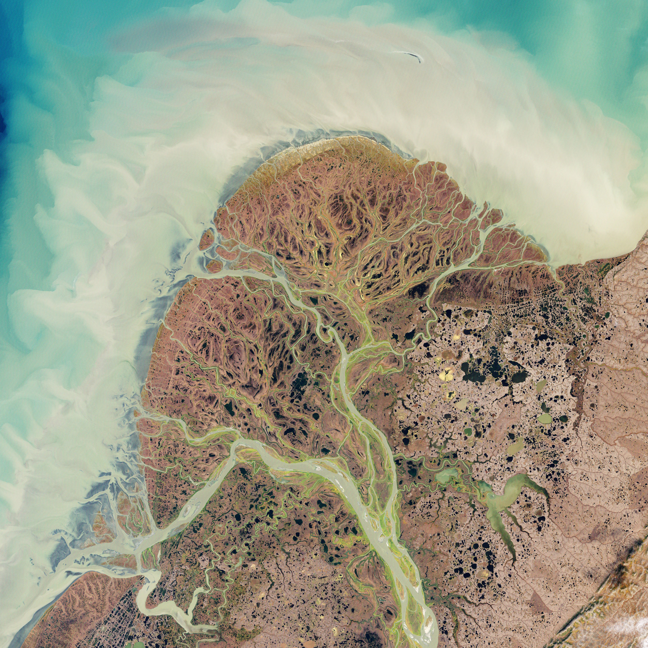
The effects of climate change are apparent across the world, but no where are they more evident than in Arctic regions. Simply put, the Arctic is warming twice as fast as the rest of the globe. Increased temperatures are known to decrease the extent of sea ice and snow coverage, but changes to the local biogeochemistry are far more ambiguous. Loss of permafrost (permanently frozen ground) and increased active layer soil depths (seasonally frozen ground) are expected to increase in future years, leading to many questions regarding the availability of this terrestrially-derived carbon and the related effects on nearby lakes, streams, rivers and the near-coastal zone. Work in our lab aims to quantify and characterize current carbon fluxes across this region to develop a better understanding of how these dynamics could be influenced by climate change.
Project website: https://www.arcticriverscarbon.org/
Scoping study: https://cce.nasa.gov/cce/arctic_colors_report.html
NASA Earth Observatory image created by Jesse Allen and Robert Simmon, using Landsat data provided by the United States Geological Survey.

Integrating detrital material into the changing Delta food web puzzle
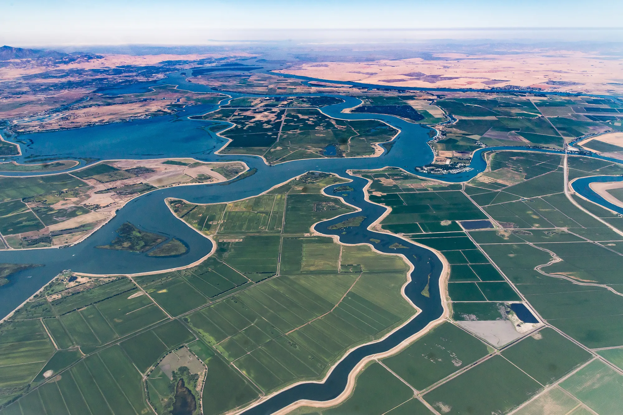
The Sacramento-San Joaquin Delta is a valuable resource for the state of California, supporting humans and animals alike. A Delta ecosystem that is healthy for fish is healthy for everyone. However, zooplankton resources for fish are scarce, thus, this project focuses on different food sources for increasing zooplankton, including known phytoplankton sources, but also wetland plant particles, which have only recently been identified as a zooplankton food source in the Delta. This project aims to determine and map all particle types that are beneficial to zooplankton in the Delta by coupling laboratory analyses of food quality with boat sensor measurements, thereby providing important tools for guiding management decisions to increase beneficial particles.
In collaboration with United States Geological Survey.
Aerial view of Sacramento River and San Joaquin River Delta. Photo by Bill_Dally via iStock

![]()